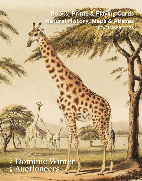
To see a page-turning version of our catalogue, please see the Virtual Catalogue.
Please enter your email address below, we will send you a notification email when the sale is available to view online.
Your browser seems to have JavaScript disabled - please allow JavaScript in order to view lots on this page.
Lot 193 - Frohawk (F. W.). Natural History of British Butterflies, 2 volumes, 1st edition, [1914]
Sold for £800
Lot 194 - Frohawk (F. W.). Natural History of British Butterflies, 2 volumes, 1st edition, [1914]
Sold for £1,050
Lot 195 - Americas. Tirion (Isaak), Nieuwe Kaart van America Uitgegeven te Amsterdam, circa 1750
Sold for £320
Lot 196 - Arabia. Chesney (Lieut. Colonel), A Map of Arabia and Syria..., 1849
Sold for £2,600
Lot 197 - Birmingham. Westley (W.), The Plan of Birmingham Survey'd in the Year 1731 [1884]
Sold for £70
Lot 198 - Blaeu. (Johannes). Lincolnia Comitatus Anglis Lincoln-Shire, Amsterdam, circa 1645
Sold for £130
Lot 199 - British County Maps. A collection of approximately 125 maps, 17th - 19th century
Sold for £700
Lot 200 - British County Maps. A collection of approximately 200 maps, mostly 19th-century
Sold for £380
Lot 201 - British County Maps. A collection of approximately 90 maps, 17th - 19th century
Sold for £300
Lot 202 - British Isles. A collection of 16 maps, 17th - 19th century
Sold for £200
Lot 203 - British Isles. A collection of eight miniature maps, 16th - 18th century
Sold for £180
Lot 204 - British Isles. Husson (Pieter), Les Isles Britanniques..., [1706]
Sold for £100
Lot 205 - * British Isles. Ortelius (Abraham), Angliae, Scotiae et Hiberniae sive Britannicar..., 1602
Sold for £400
Lot 206 - Cary (John). A collection of approximately 140 maps, early 19th-century
Sold for £260
Lot 207 - Cornwall. Bowyer (Dan). Cornwall, published for British Railways, circa 1950
Sold for £520
Lot 208 - D'Anville (Jean Baptiste Bourguignon). A collection of 27 maps, 18th-century
Sold for £220
Lot 209 - Derbyshire. A collection of 27 maps, 17th - 19th century
Sold for £240
Lot 210 - Derbyshire. Speed (John), Darbieshire Described, Thomas Bassett & Richard Chiswell [1676]
Lot 211 - Devon. A collection of 44 maps, 17th - 19th century
Lot 212 - * Devon. Bowen (Emanuel), An Accurate Map of Devon Shire..., circa 1785
Sold for £120
Lot 213 - Devon. Donn (Benjamin), A Map of the County of Devon, 1765
Sold for £540
Lot 214 - Devon. Greenwood (C. & J.), Map of the County of Devon from an Actual Survey..., 1827
Sold for £460
Lot 215 - England & Wales. A collection of 12 maps, 17th - 19th century
Lot 216 - England & Wales. Cary (G. & J.), Cary's New Improved Map of England and Wales..., 1832
Sold for £600