To see a page-turning version of our catalogue, please see the Virtual Catalogue.
Live bidding is available on our website on sale day, a BID LIVE button will appear 60 minutes before the sale starts. Please register at least 24 hours before the sale starts. Commission bids can be left on our website up to 1 hour before the sale commences. For telephone bids, please call the office on 01285 860006.
Contents
Travel & Exploration 1-32
British Topography 33-58
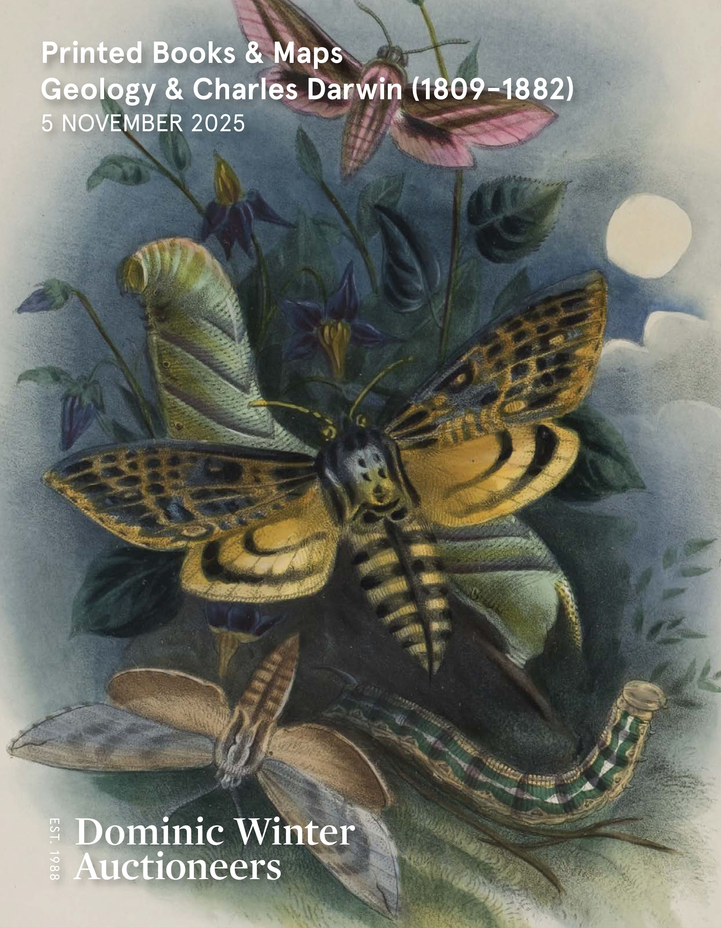
Charles Darwin (1809-1882) & British Geology 59-121
Natural History 122-127
Maps 128-206
Decorative Prints 207-288
Antiquarian 289-343
Art & Architecture 344-350
General Literature 351-378
Globe Wernicke Bookcases 379-388
General Stock 389-450
Viewing times
Monday & Tuesday 3/4 November 9.30am-5.30pm
Sale mornings from 9am (other times by appointment)
Light refreshments available on view days with extra lunch options on sale days
Please enter your email address below, we will send you a notification email when the sale is available to view online.
Lot 145 - England & Wales. Lewis (Samuel), A Map of England & Wales, circa 1840
Lot 146 - England & Wales. Walker (J. & C.), A Geological Map..., 1837
Lot 147 - England & Wales. Walker (J. & C.), A Geological Map..., 1837
Lot 148 - Europe. A collection of approximately 350 maps, 18th & 19th-century
Lot 149 - Europe. Low (David), Untitled Satirical Map of Cold War Europe
Lot 151 - Folding Maps. A collection of approximately 330 maps, 19th and 20th century
Lot 152 - Foreign Maps. A collection of approximately 375 maps, 17th - 19th century
Lot 153 - France & Germany. A collection of approximately 35 maps, 17th - 19th century
Lot 154 - Gloucester. Greenwood (C & J). Map of the County of Gloucester, London: 1824
Lot 155 - * Gloucestershire. Speed (John), Glocestershire contrived..., 1676
Lot 156 - * Greenwood (C. & J.). A collection of seven county maps, circa 1830
Lot 158 - Hampshire. Saxton (Christopher & Lea Philip), Hampshire by C. Saxton..., circa 1695
Lot 159 - Holy Land & Eastern Mediterranean. A collection of seven maps, mostly 17th-century
Lot 161 - Holy Land. De la Rue (Phillipe), Sovrie ou Terre Saincte Moderne..., Paris, circa 1651
Lot 162 - Holy Land. De la Rue (Phillipe), Terra Promissa..., Paris, 1694
Lot 163 - Holy Land. Hornius (Georg and Jan Jansson), Seven sheet map, circa 1665
Lot 164 - Holy Land. Lagnet (Jacques), Terra Sancta promissionis olim Paleatina, Paris: circa 1660
Lot 165 - Holy Land. Sanson (Nicolas), Geographiae Sacrae ex Veteri, et Novo Testamento ..., 1693
Lot 166 - Holy Land. Schmidt (J. G.), Delineatio und Beschreibung des Gelobten Landes..., circa 1725